Kodjoviakopé — Historic Border District, Lomé
neighborhood · Golfe 4 Commune (Amoutivé) — Lomé · Lomé
Kodjoviakopé — The Border District
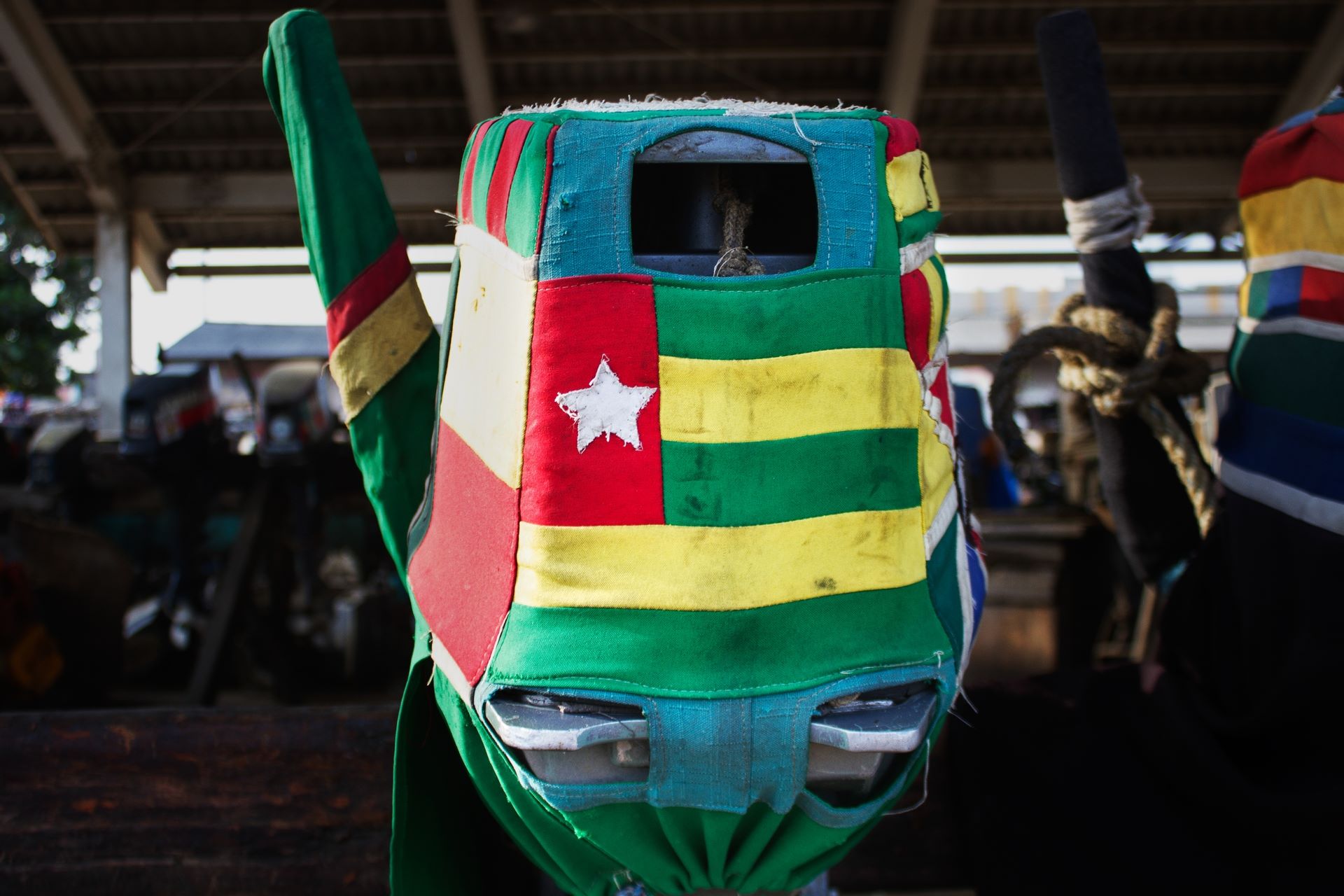
Kodjoviakopé is a 99-hectare district, bordered to the west by the Ghana border, to the south by the Atlantic Ocean, and to the east by the former Governors' Palace. It is home to Lomé's only border crossing with Ghana, on the coast, facing the Ghanaian town of Aflao.
Origins and founding
The name Kodjoviakopé literally means "village of Kodjovia," after its founder Kodjovia de Souza. The district was originally a fishing village. Around 1880, Anlo fishermen settled there permanently, founding the present-day districts of Kodjoviakopé and neighboring Ablogamé.
A border drawn by colonial history
The border between Togo and Ghana was arbitrarily drawn in 1919, when France and Great Britain divided up the territory of German Togoland after Germany's defeat at Kamina in World War I. In Kodjoviakopé, this border remains the district's most defining feature.
An ongoing urban transformation
Due to the aging of its native population and its proximity to the business district, the administrative center, the Grand Market of Lomé, and the French Lycée, the district is undergoing profound transformation, with a growing presence of European, Lebanese, Chinese, and other international families.
Border crossing
The Aflao-Kodjoviakopé border crossing is one of the busiest land crossings between Togo and Ghana, used daily by traders, travelers, and cross-border workers.
Last verified: September 11, 2026 Sources: EchoGéo — Lomé, post-border city, Lomé Accueil — Kodjoviakopé
Kodjoviakopé at the 2022 census
At Togo's fifth general population and housing census (RGPH-5, November 2022), INSEED counted 14,848 residents in Kodjoviakopé: 6,829 men and 8,019 women, or 85 men per 100 women. The neighbourhood belongs to the Golfe 4 commune, in the Golfe prefecture. It holds 9.5% of the commune's 155,842 residents and ranks 2 of 28 neighbourhoods by population. Greater Lomé has 2,188,376 residents.
Neighbourhoods of the Golfe 4 commune
| Neighbourhood | Residents (2022) | Men | Women | Share of the commune |
|---|---|---|---|---|
| Nyékonakpoé | 22,100 | 10,516 | 11,584 | 14.2% |
| Kodjoviakopé | 14,848 | 6,829 | 8,019 | 9.5% |
| Tokoin Gbadago | 11,883 | 5,944 | 5,939 | 7.6% |
| Dogbeavou | 10,365 | 5,148 | 5,217 | 6.7% |
| Tokoin Solidarite | 9,810 | 4,744 | 5,066 | 6.3% |
| Tokoin Ouest | 9,451 | 4,534 | 4,917 | 6.1% |
| Lom Nava | 9,413 | 4,816 | 4,597 | 6.0% |
| Be Klikame | 8,950 | 4,421 | 4,529 | 5.7% |
| Doulassame | 8,328 | 4,306 | 4,022 | 5.3% |
| Tokoin Hopital | 6,256 | 2,964 | 3,292 | 4.0% |
| Octaviono Netime | 5,562 | 2,635 | 2,927 | 3.6% |
| Amoutivé | 5,344 | 2,686 | 2,658 | 3.4% |
| Above | 5,000 | 2,284 | 2,716 | 3.2% |
| Akossombo | 3,742 | 1,852 | 1,890 | 2.4% |
| Aguia Komé | 3,499 | 1,589 | 1,910 | 2.2% |
| Quartier Administratif | 3,421 | 2,890 | 531 | 2.2% |
| Béniglato | 3,051 | 1,323 | 1,728 | 2.0% |
| Hanoukopé | 2,806 | 1,344 | 1,462 | 1.8% |
| Bassadji | 2,230 | 1,074 | 1,156 | 1.4% |
| Adoboukomé | 2,003 | 929 | 1,074 | 1.3% |
| Casablanca | 1,993 | 943 | 1,050 | 1.3% |
| Abobokome | 1,432 | 613 | 819 | 0.9% |
| Wétrivi Kondji | 1,376 | 692 | 684 | 0.9% |
| Sanguéra | 956 | 442 | 514 | 0.6% |
| Fréau Jardin | 715 | 362 | 353 | 0.5% |
| Koketime | 642 | 279 | 363 | 0.4% |
| Agbadahonou | 534 | 269 | 265 | 0.3% |
| Adawlato | 132 | 73 | 59 | 0.1% |
Official source (accessed 17 October 2026)
- National Institute of Statistics and Economic and Demographic Studies (INSEED), RGPH-5, booklet 1: spatial distribution of the population by sex (French), 2022: resident population by sex of every neighbourhood of the Golfe and Agoè-Nyivé prefectures (tables 10 and 11).